Mechanical eyes
drift across horizons,
capturing hidden
choreographies on
the patchwork cloth
of your vast abode.
Grey on green
on green on grey,
your pixelated torsos
dance fleetingly over
annotated screens
of sharpened reds
and artificial greens.
You flicker from
habitat to habitat:
shrubland to
woodland to
thicket to
plain.
We train our eyes
to count
where you have been,
and imagine what
you might become.

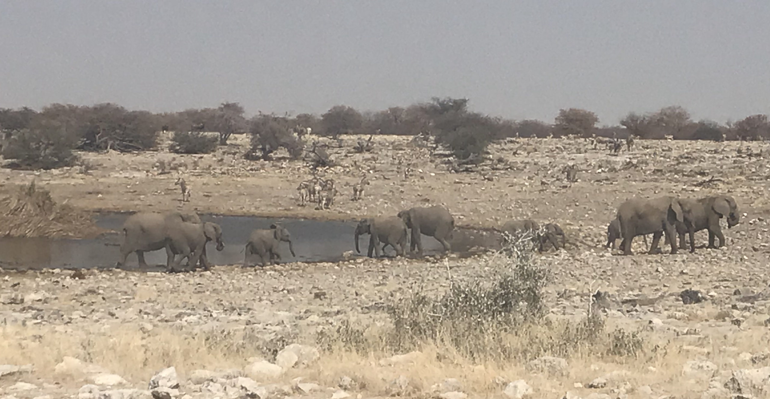
This poem is inspired by recent research, which has found that satellite cameras coupled with machine learning can be used to detect and count African elephants in complex geographical landscapes.
The population of African elephants has fallen dramatically over the past century, mainly due to poaching and habitat fragmentation; the species is currently classified as endangered, and accurate monitoring is essential in order to conserve and protect the species. Satellite monitoring eliminates the risk of disturbing these animals during data collection and ensures humans are not hurt in the counting process. It also makes it simpler to count animals moving from country to country, as satellites can orbit the planet without regard for border controls or conflict. However, while very‐high‐resolution satellite imagery has been used elsewhere to detect and count other wildlife species, this has been in homogeneous (i.e. one type of) landscapes, where the animals have a strong contrast with their environment, for example whales in the ocean. While African elephants are the largest land animal in the world, and should therefore theoretically be one of the easiest to spot from space, the heterogenous (i.e. mixed) landscapes of shrubland, forest, and grassland that they roam across, further complicates this task and can make them difficult to detect.
In this new study, researchers have combined high-resolution satellite imagery from the Worldview 3 and 4 satellites with an automated system that utilises machine learning in order to accurately detect and count African elephants from space. The accuracy of the algorithm was found to be about the same as that of humans (i.e. people who looked at the satellite images and detected the elephants using their eyes) over heterogenous landscapes (78% compared to 77% accuracy) and only slightly worse than humans over homogenous landscapes (73% compared to 80% accuracy). This study thereby demonstrates the feasibility of applying remote sensing and machine learning technologies for detecting and counting African elephants, as well as the viability of using high-resolution satellite imagery as a potential new wildlife surveying and conservation technique.
Discover more from The Poetry of Science
Subscribe to get the latest posts sent to your email.
How sad we have endangered these magnificent beasts – thankfully this new technology will enable us to understand more of their habitat and adequately protect them. Thank you Sam for your Friday insights into our world
Thank you Beth, and yes I am really excited to see how this research develops! 😀
Sam